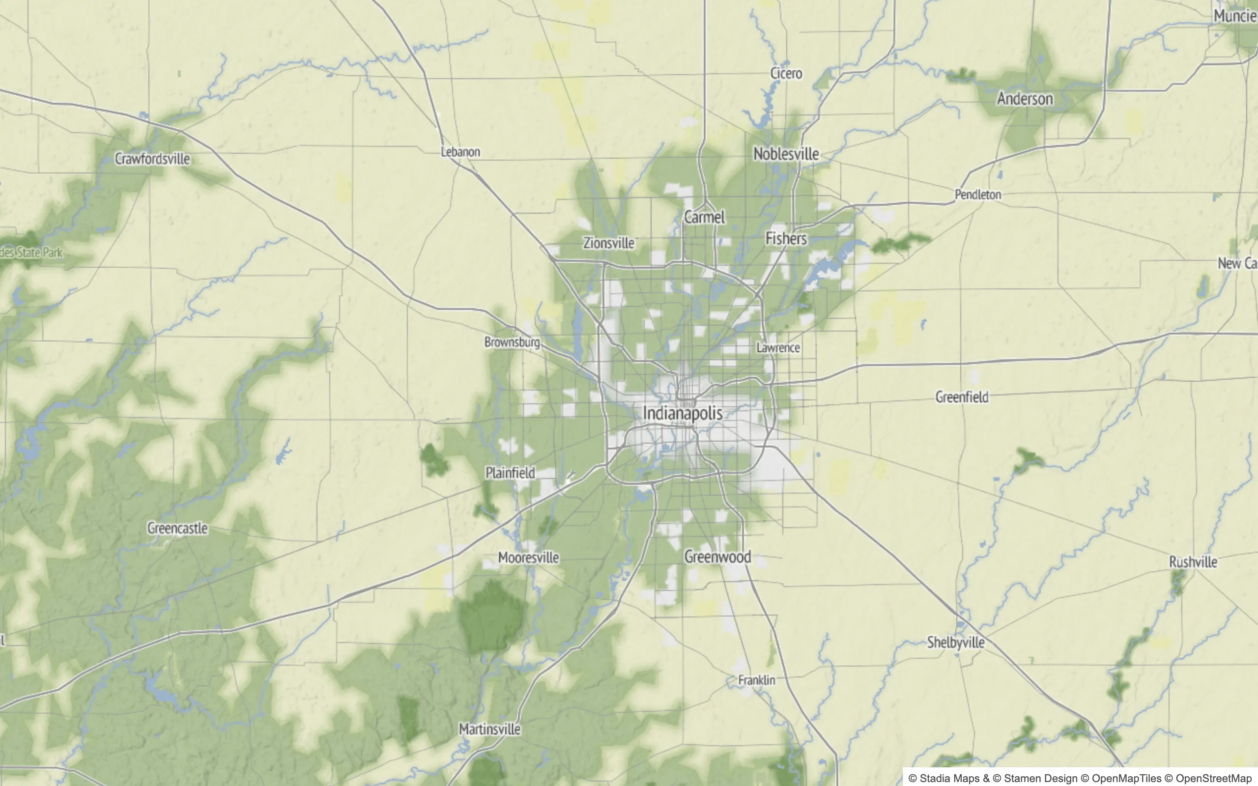
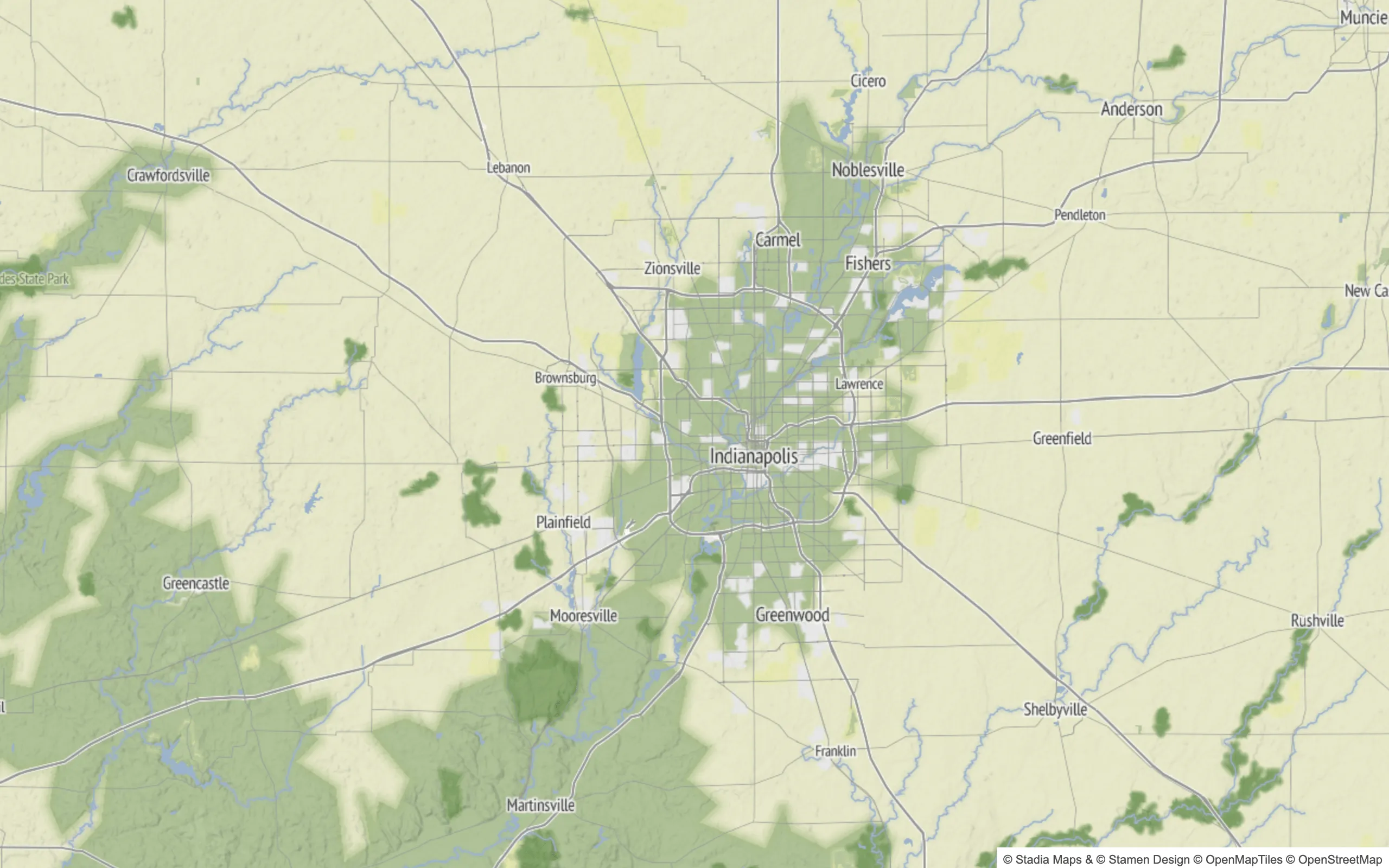
We added global land cover to our Outdoors style and paid more attention to how it's processed and presented in Alidade Bright, Outdoors, and Stamen Terrain.
What We Changed
We improved the resolution of our satellite land cover dataset to z7 and expanded the classes it covers. We also made a lot of features from OSM landcover show up at earlier zoom levels.
Two Sources Doing Two Jobs
Satellite and OSM are good at different things, and our redesign now uses each for its strengths.
OSM mappers tag features that matter to them: vast forests, large dunes, desert plains, and bare rock on mountains. Nobody maps every parcel of land as grass. Canada is the clearest example. Forest outlines in OSM look patchy and often don't match tree edges.
Satellite data classifies coarse land cover well. It can reasonably tell grass, forest, crops, and ice apart, but it can't resolve small features. Beaches, village greens, parks, and gardens need precision that matches our base OSM layers, so we pull those features from OSM.
Where You'll See the Difference
Sand and bare rock at low zoom
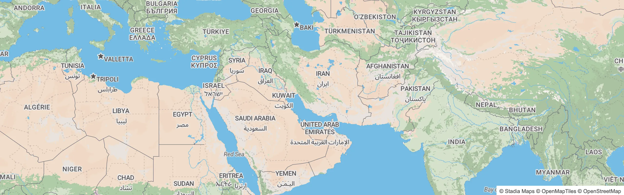
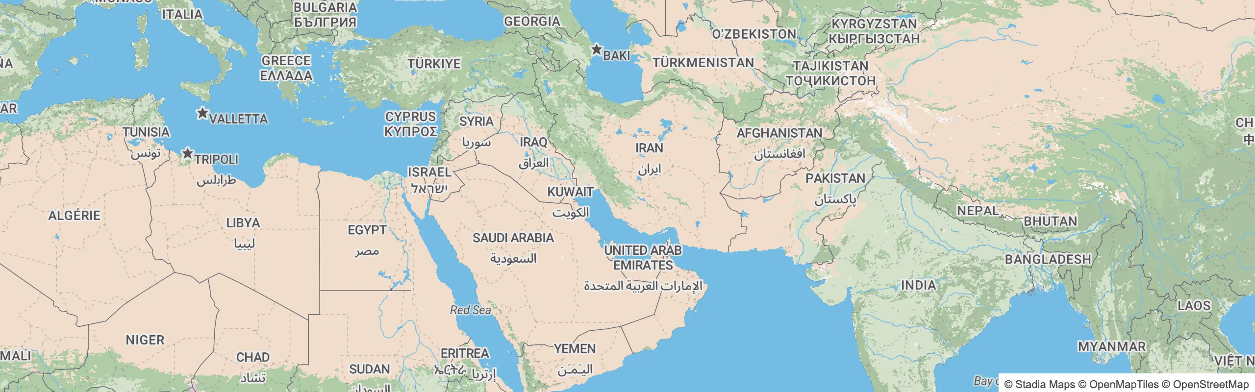
Alidade Bright uses global land cover at low zoom. The desert belt is now covered in sand, and OSM-tagged desert areas stand out as distinct features within it. Previously, those areas were only tagged as "bare."
On most of our other styles, and on Stamen Terrain, the effect is less pronounced.
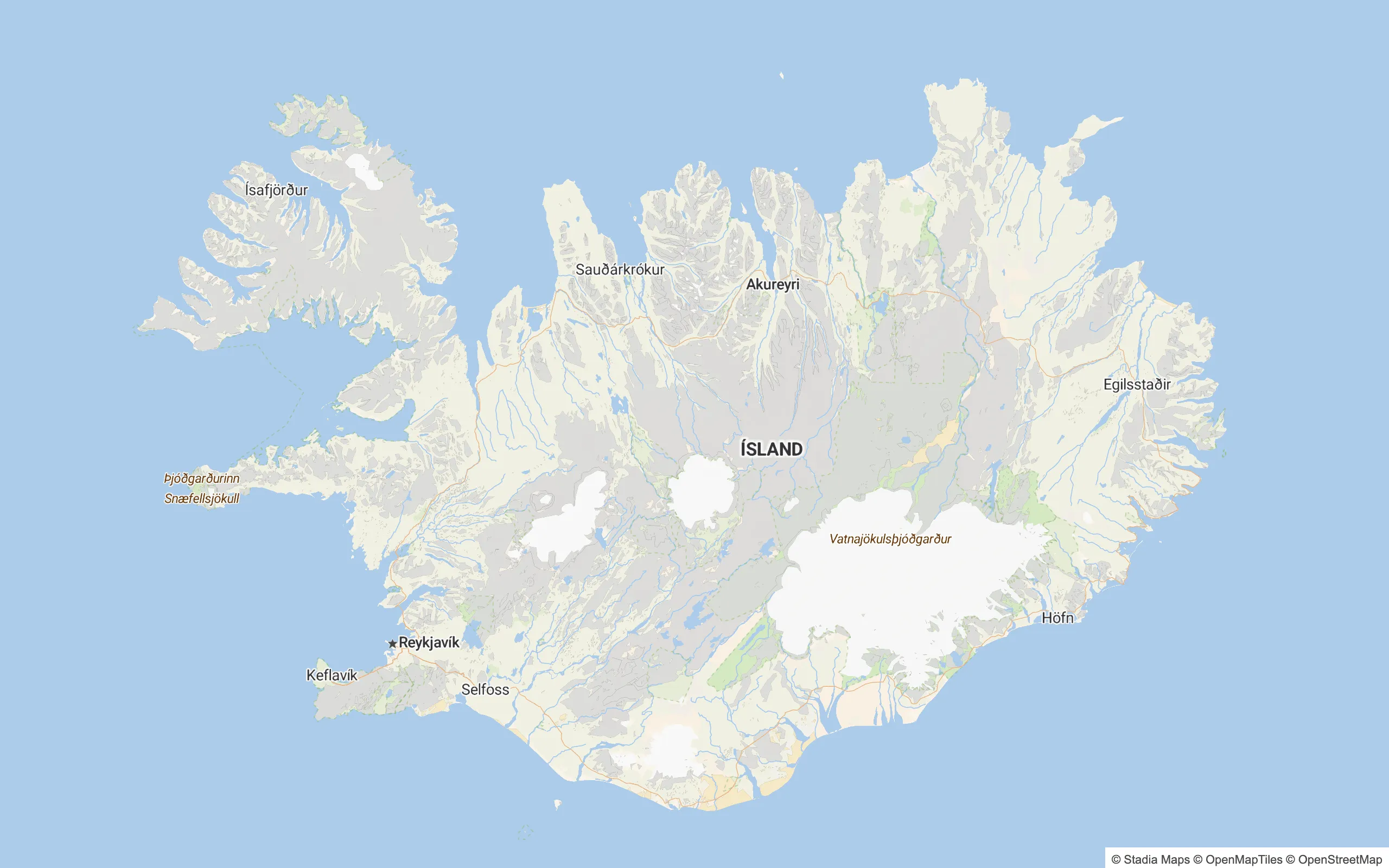
The OpenMapTiles layer now includes sand and bare rock at low zoom levels. Previously, these rendered only at z7 and up. We now process major features, like glaciers, at lower zooms. We also de-emphasized their colors compared to the previous styling.
Glaciers and parks at low zoom
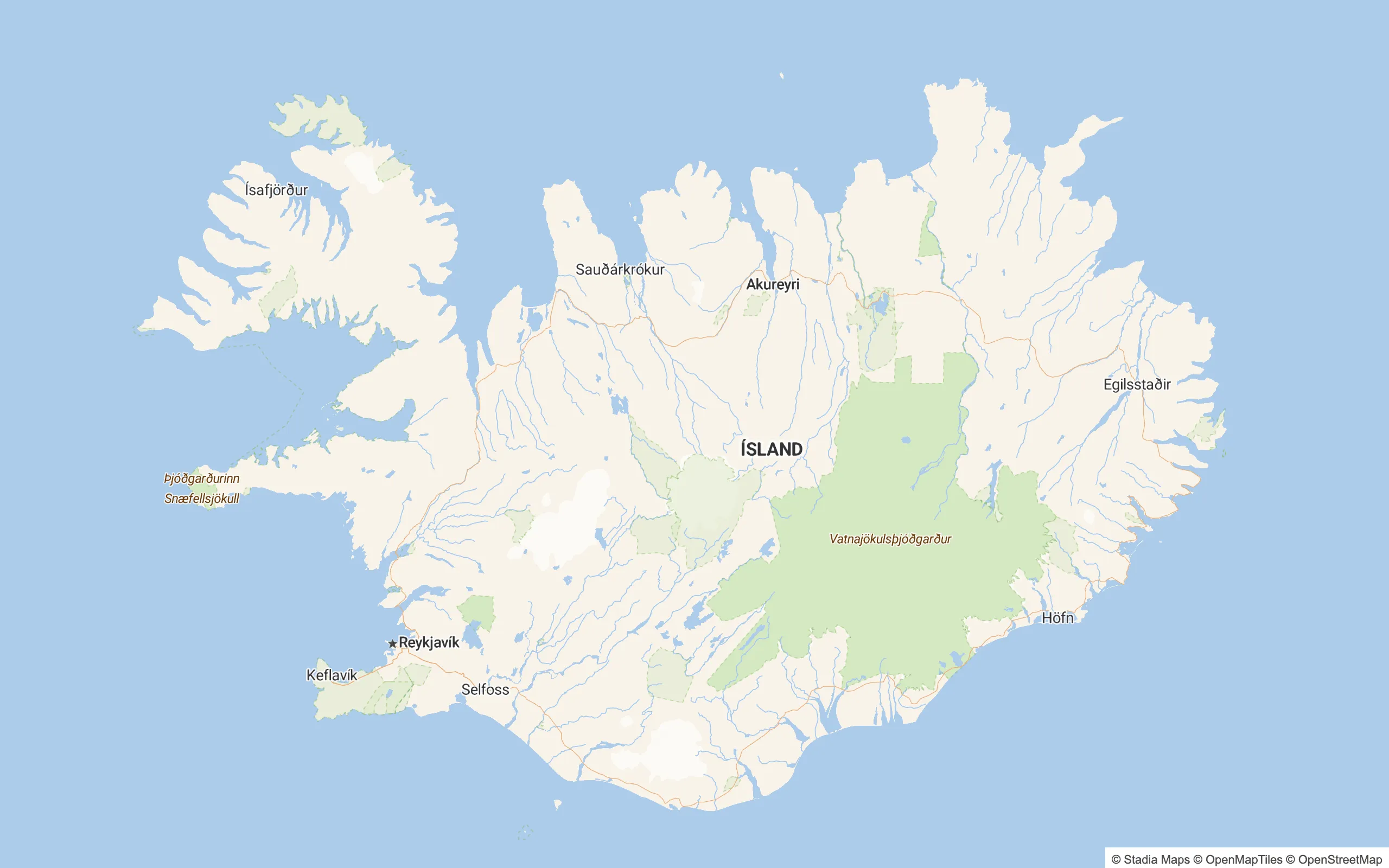
The Outdoors style is built for adventurers, hikers, and trailblazers, but until now it used only OSM land cover, and OSM coverage is patchy. Before this release, park styling was drawn over land cover. This release adds global land cover and makes it dominant over park styling. Park borders are unchanged for now. The result is better at low zoom levels.
Urban areas and cluster boundaries
The areas we draw around satellite land cover clusters are now more precise at low and mid zooms.