Outdoors
Empower your users to discover, explore, plan and share the world using solutions from Stadia Maps.
Customizable
Maps that you can localize, stylize, and configure to match your brand or user preferences.
Learn More >Elevation
Get the elevation of any point on earth. You can query either a single point or get an elevation profile along a shape.
Learn More >Routing & Navigation
Flexible and robust, with applications as diverse as last-mile route planning, golf cart navigation and bicycle tours, all powered by our suite of APIs.
Learn More >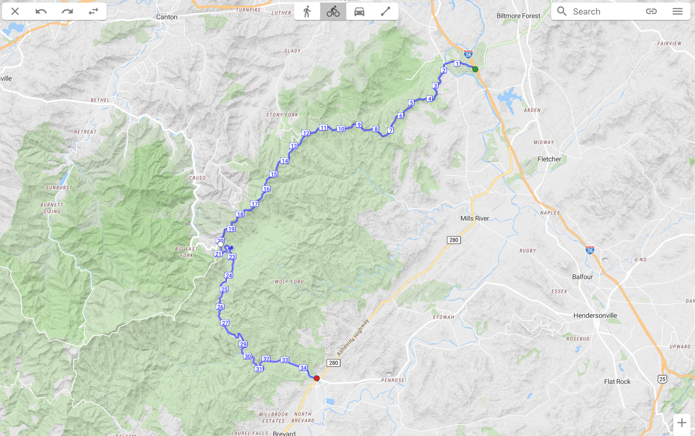
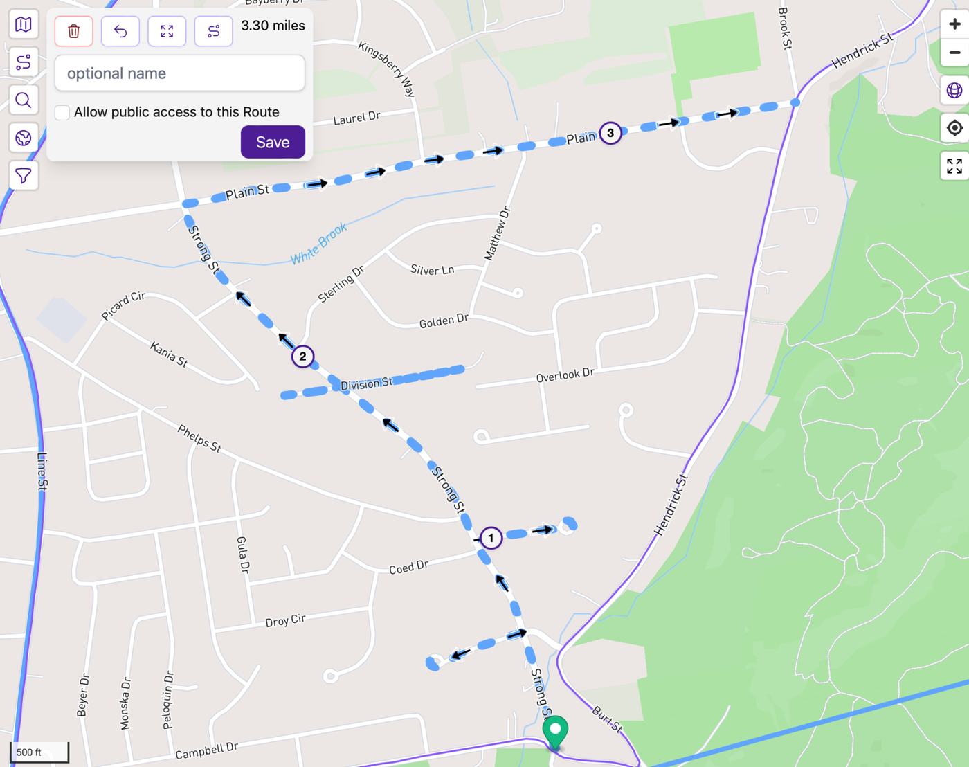
How far and how high
On the Go Map built atop our mapping experience to enable an elegant tool to measure distance and elevation along a route with a vector map style.
Let your users plan their routes
CityStrides lets you plan your next run with routes powered by Stadia Maps. Users then share runs with others, creating a unique social experience.
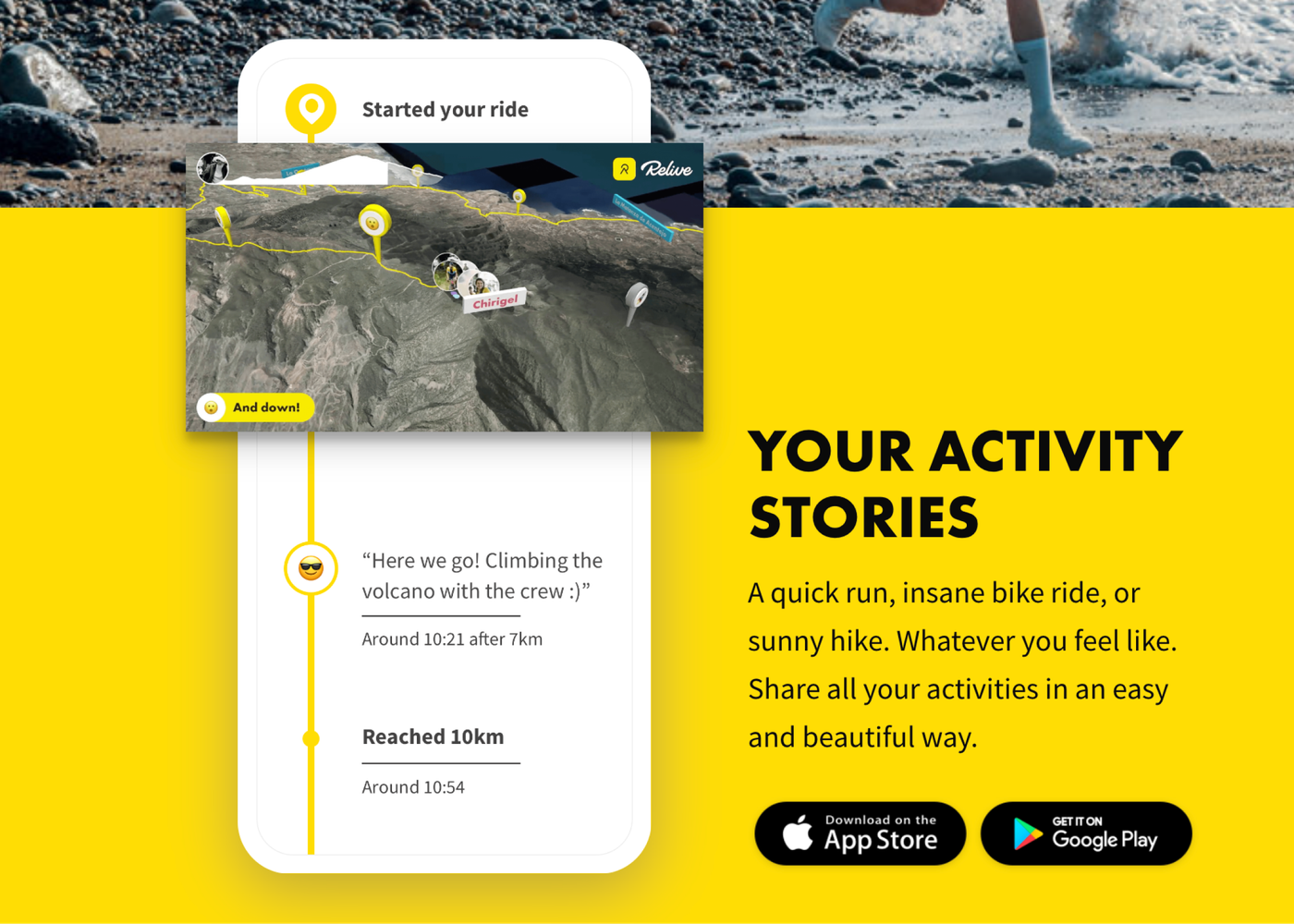
Showcase your users
Relive implemented our interactive and static map products, enabling every active person to share their adventure in an easy and beautiful way.